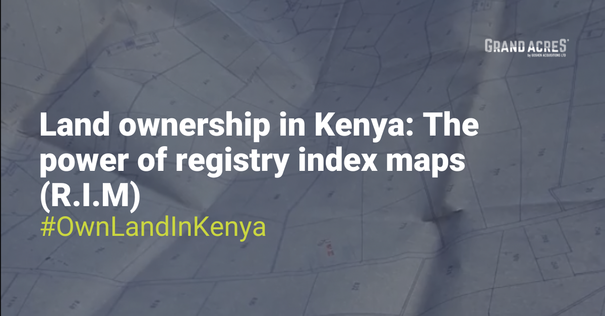
In the realm of land ownership in Kenya, one of the most critical yet often overlooked documents is the Registry Index Map (R.I.M). While title deeds and green cards are the more commonly recognised documents associated with land ownership, R.I.Ms are invaluable resources that can help you avoid costly mistakes. In this article, we will explain the importance of the R.I.M, particularly in converting title deeds.
Why the R.I.M Is Essential in the Title Conversion Process
If you are in the process of converting your title, the Registry Index Map is a required document. While the title deed officially certifies your ownership of the land, the R.I.M visually represents your property’s exact location relative to its surroundings. Without a R.I.M, your title deed could refer to “thin air” instead of a defined plot of land.
The title conversion process requires several vital documents: your original title deed, identification documents (such as an ID and a PIN certificate or passport), and, most importantly, the R.I.M. Older documents like the mutation form and deed plan are gradually being phased out, making the R.I.M the primary resource for verifying your land’s physical existence and position.

The Difference Between a Mutation Form and a Registry Index Map
It’s common to confuse the R.I.M with other land documents, especially the mutation form. Here are the key differences:
Mutation Form: This document indicates the Land Reference (LR) number, land dimensions, and surrounding neighbours within the mother parcel from which it was produced. This document provides information on how the subdivision of the parcel came to be. However, it only provides basic information about the land’s location.
Registry Index Map (R.I.M): The R.I.M offers a more comprehensive view, detailing the entire shape of the land, its boundaries, and the general region surrounding it. For example, an R.I.M for a large area like Capote South might cover up to 20,000 acres on a single sheet. This detailed map allows you to identify neighbours several rows away, enabling you to determine your land’s position within the locality accurately.

Real-World Importance of the R.I.M
Several years ago, we encountered a situation in Nanyuki where the seller took us to view the boundary beacon—a flat concrete marker displaying the LR number that matched the title deed. At first glance, everything seemed correct.
However, we hired a licensed surveyor to recheck the boundaries to ensure accuracy. To our astonishment, the surveyor determined that the actual location of the land was two kilometres away from the spot we had visited! The beacon we examined did not mark the boundary of the land we considered for purchase. If we had proceeded based solely on what we were shown, we could have faced disputes or eviction by the rightful landowner.
Why the R.I.M Is Your Safety Net
In scenarios like the one described above, a Registry Index Map could have quickly verified the correct location and highlighted any discrepancies. The R.I.M is a dependable reference point for confirming your property’s location within Kenya’s borders. With it, you can avoid being shown a piece of land, constructing on it, and later discovering that it doesn’t represent what you purchased.

In summary, the R.I.M is a crucial tool that every buyer should utilise when purchasing. Before finalising any transactions concerning your land, ensure you have access to the Registry Index Map. This simple document could save you from costly mistakes and ensure you truly own what you have paid for!
Are you prepared to purchase land that is shown on the R.I.M? Click on this link for more information on our current properties – https://bit.ly/GALProperties


Be the first to comment!